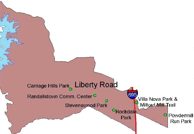
Liberty Road Recreation Council Boundaries
The boundaries for the Liberty Road Recreation and Parks Council are indicated on the following map.
Descriptively they are as follows
North on city line at city line and Liberty Road to Western Maryland RR
West on RR tracks to Southern Cross Drive
Southwest on Southern Cross Drive to Alter Street
West on Alter Street to Campfield Road
Northwest on Campfield Road to Buckingham Road
Buckingham Road to Gwynn Falls Road Gwynn
Falls Road to the Beltway
North on the Beltway to Old Court Road
Southwest on Old Court Road to Winands Road
West and North on Winands Road to McDonough Road
North on McDonough Road to Lyons Mill Road
West on Lyons Mill Road to Deer Park Road
West to the Patapsco River (Baltimore/Carrol County Line)
South on the Patapsco River to the point closest to Wrights Mill Road
North on Wrights Mill Road to Dogwood Road
North on Dogwood Road to Old Court Road
Northeast on Old Court Road to Windsor Mill Road
Southeast on Windsor Mill Road to the Beltway
North on the Beltway to Liberty Road
Southeast on the Liberty Road to the city line